Australia’s #1 collection of best practice tools, guides and resources for professionals. Made in partnership with Living Melbourne. If you have a guide you would like to showcase, please contact us.
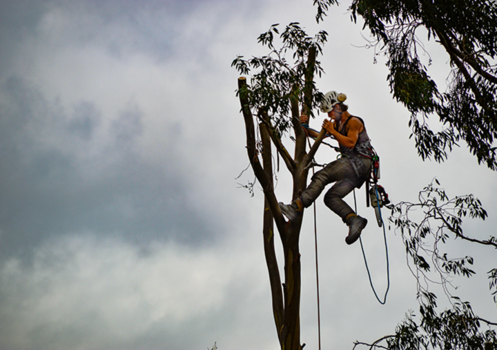
Aboriculture Australia
Arboriculture Australia™ is the peak national body for professional tree workers, arborists, tree...
Read moreArboriculture Australia™ is the peak national body for professional tree workers, arborists, tree managers, urban forestry workers and utility vegetation managers across Australia and the Asia-Pacific region.
National Additional resources Link
Adelaide Design Manual – Greening
The Greening section of the Adelaide Design Manual outlines the principles associated with greening...
Read moreThe Greening section of the Adelaide Design Manual outlines the principles associated with greening the city streets and the approaches such as Living Architecture, Green Streets, Water Sensitive Urban Design, Urban Forests and Urban Food which contribute to the city’s environmental and lifestyle benefits such as shelter and cooling.
South Australia Implementation tools State-specific Urban greening benefits Link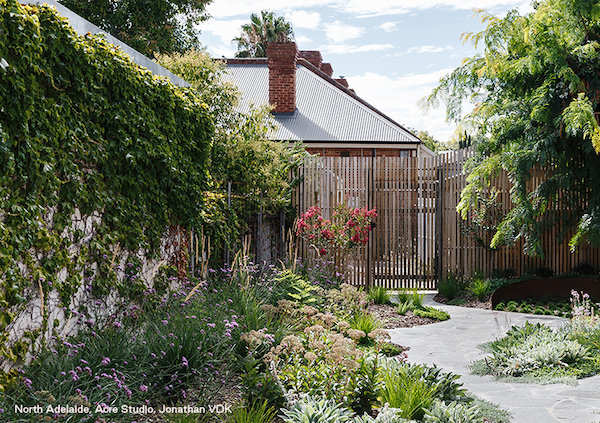
Adelaide Garden Guide for New Homes
The guide provides small garden designs and planting ideas to help make it easy to implement the...
Read moreThe guide provides small garden designs and planting ideas to help make it easy to implement the Planning and Design Code’s mandatory tree planting and soft landscaping requirements for new homes and major renovations in metropolitan Adelaide. It aims to inspire people who are building new homes or extensions to add more greenery and improve the liveability of Adelaide’s neighbourhoods.
South Australia Implementation tools State-specific Link
AILA Green Infrastructure Position Statement
AILA’s position statements articulate and clarify AILA’s position on a number of relevant and...
Read moreAILA’s position statements articulate and clarify AILA’s position on a number of relevant and topical issues and have been developed to help communicate these to the public, the media and our members alike.
National Urban greening benefits Link
Australian Urban Forestry Network
The Urban Forest Community of Practice is an informal network of interested and passionate...
Read moreThe Urban Forest Community of Practice is an informal network of interested and passionate individuals either working in or wanting to learn more about the discipline of urban forestry in Australia.
National Additional resources Link
Biodiversity Response Planning
A long term, area-based planning approach to biodiversity conservation is rolling out across...
Read moreA long term, area-based planning approach to biodiversity conservation is rolling out across Victoria. It is designed to strengthen alignment, engagement and participation between government, Traditional Owners, non-government agencies (NGOs) and the community. Here you will find fact sheets, an interactive statewide map, and FAQs.
Victoria Implementation tools Link
Birdata
A platform for collaboratively and scientifically colelcting data to gain insight and protect...
Read moreA platform for collaboratively and scientifically colelcting data to gain insight and protect Australia's birds.
National Additional resources Link
Blue + Green = Liveability
The paper talks to the value of water to livable communities. It builds the case for investing in...
Read moreThe paper talks to the value of water to livable communities. It builds the case for investing in water-enabled green and blue infrastructure and quantifies the public health benefits that can be generated.
Victoria Urban greening benefits Link
Burnley Green Roof Plant Guide
This guide provides proven plant palettes for flourishing Australian green roofs. Based on over...
Read moreThis guide provides proven plant palettes for flourishing Australian green roofs. Based on over 15-years’ of research and plant trials at the University of Melbourne’s Burnley campus, the guide outlines plant combinations that can be used on a range of different green roof types to maximise the benefits of urban greening.
National Implementation tools Link
Choosing Actions for Nature – Strategic Management Prospects
The Strategic Management Prospects (SMP) tool was developed to give Victoria a long-term, strategic...
Read moreThe Strategic Management Prospects (SMP) tool was developed to give Victoria a long-term, strategic approach to identifying cost-effective management actions that deliver an improved outlook for as many species as possible. Strategic Management Prospects integrates and simultaneously compares information on biodiversity values, threats, and effectiveness of management actions and indicative costs of management actions for biodiversity across Victoria. Strategic Management Prospects is one tool that will help inform metropolitan habitat connectivity and corridor mapping and modelling.
Victoria Implementation tools State-specific Link
Cities for People and Nature
The Clean Air and Urban Landscapes Hub has released a free e-book, Cities for People and Nature. The...
Read moreThe Clean Air and Urban Landscapes Hub has released a free e-book, Cities for People and Nature. The e-book showcases the hub’s findings following six years of research. It follows five key themes: cities are Indigenous places, air quality, urban greening, urban biodiversity and future cities. It also explores the impact that the Hub’s research has made on the sustainability and liveability of our urban environments. Readers can interact with the multimedia elements, including video and audio, and find links to useful resources, such as apps, factsheets, reports and more.
Victoria Reporting, Measurement & Tracking Urban greening benefits Link
Cities With Nature
Cities With Nature is a unique initiative that recognises and enhances the value of nature in and...
Read moreCities With Nature is a unique initiative that recognises and enhances the value of nature in and around cities across the world. It provides a shared platform for cities and their partners to engage and connect, working with shared commitment towards a more sustainable urban world.
International Additional resources Link