Australia’s #1 collection of best practice tools, guides and resources for professionals. Made in partnership with Living Melbourne. If you have a guide you would like to showcase, please contact us.
Showing results for:
Victoria
Biodiversity Response Planning
A long term, area-based planning approach to biodiversity conservation is rolling out across...
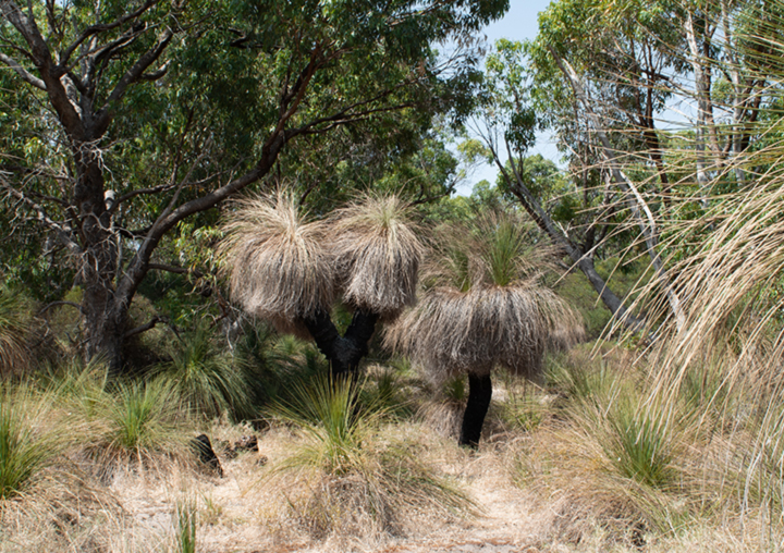
Read moreA long term, area-based planning approach to biodiversity conservation is rolling out across Victoria. It is designed to strengthen alignment, engagement and participation between government, Traditional Owners, non-government agencies (NGOs) and the community. Here you will find fact sheets, an interactive statewide map, and FAQs.
Victoria Implementation tools Link
Blue + Green = Liveability
The paper talks to the value of water to livable communities. It builds the case for investing in...
Read moreThe paper talks to the value of water to livable communities. It builds the case for investing in water-enabled green and blue infrastructure and quantifies the public health benefits that can be generated.
Victoria Urban greening benefits Link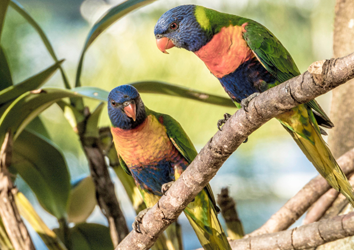
Choosing Actions for Nature – Strategic Management Prospects
The Strategic Management Prospects (SMP) tool was developed to give Victoria a long-term, strategic...
Read moreThe Strategic Management Prospects (SMP) tool was developed to give Victoria a long-term, strategic approach to identifying cost-effective management actions that deliver an improved outlook for as many species as possible. Strategic Management Prospects integrates and simultaneously compares information on biodiversity values, threats, and effectiveness of management actions and indicative costs of management actions for biodiversity across Victoria. Strategic Management Prospects is one tool that will help inform metropolitan habitat connectivity and corridor mapping and modelling.
Victoria Implementation tools State-specific Link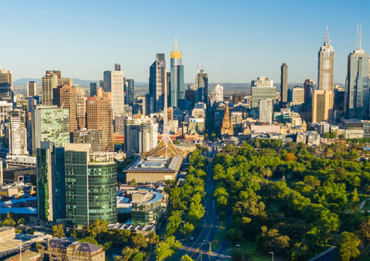
Cities for People and Nature
The Clean Air and Urban Landscapes Hub has released a free e-book, Cities for People and Nature. The...
Read moreThe Clean Air and Urban Landscapes Hub has released a free e-book, Cities for People and Nature. The e-book showcases the hub’s findings following six years of research. It follows five key themes: cities are Indigenous places, air quality, urban greening, urban biodiversity and future cities. It also explores the impact that the Hub’s research has made on the sustainability and liveability of our urban environments. Readers can interact with the multimedia elements, including video and audio, and find links to useful resources, such as apps, factsheets, reports and more.
Victoria Reporting, Measurement & Tracking Urban greening benefits Link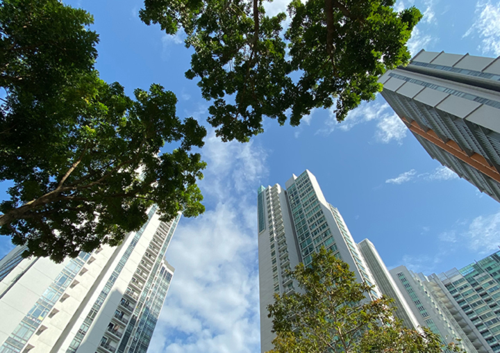
City of Melbourne Urban Forest Strategy
The City of Melbourne is facing the significant challenges of climate change, population growth and...
Read moreThe City of Melbourne is facing the significant challenges of climate change, population growth and urban heating, placing pressure on the built fabric, services and people of the city. A healthy urban forest will play a critical role in maintaining the health and liveability of Melbourne. CoM's Urban Forest Strategy seeks to manage this change and protect against future vulnerability by providing a robust strategic framework for the evolution and longevity of Melbourne's urban forest.
Victoria Strategies and plans Link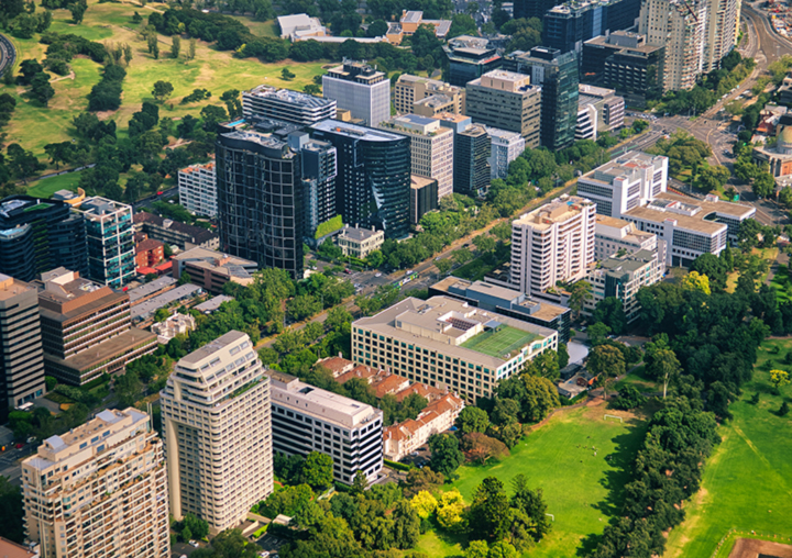
Clearwater
Clearwater is a capacity building program, recognised for its role in providing programs that equip...
Read moreClearwater is a capacity building program, recognised for its role in providing programs that equip the water industry with the skills, knowledge and networks to drive the implementation of Integrated Water Management (IWM) practices. The Clearwater website provides access to training, case studies, research papers and publications, fact sheets, tools, guidelines and strategy.
Victoria Additional resources Link
Cool It Project
The Cool it project used existing spatial data to determine urban areas of 9 Victorian regional and...
Read moreThe Cool it project used existing spatial data to determine urban areas of 9 Victorian regional and rural Councils that were socially vulnerable to heat impacts. The methodology objective was to pinpoint the intersection of Social Vulnerability, Pedestrian Intensity and Heat.
Victoria Reporting, Measurement & Tracking State-specific Link
Council Arboriculture Victoria Public Resources
Council Arboriculture Victoria is committed to freely exchanging knowledge and information that...
Read moreCouncil Arboriculture Victoria is committed to freely exchanging knowledge and information that benefits the arboriculture industry. They provide resources to support best practice arboriculture across the public and private realms. Their resources include guidelines and tools to aid tree assessment and reporting for development projects.
Victoria Additional resources Link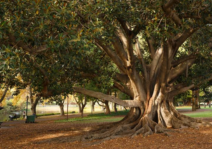
DELWP Vegetation Cover Mapping 2014 and 2018
Department of Environment, Land, Water and Planning (DELWP) has worked in partnership with RMIT...
Read moreDepartment of Environment, Land, Water and Planning (DELWP) has worked in partnership with RMIT University, CSIRO, and the Clean Air and Urban Landscapes (CAUL) Hub of the National Environmental Science Program to map and analyse vegetation, land use, and urban heat across Melbourne. The project has been supported by implementation partner Melbourne Water. The project used UrbanMonitor – a digital aerial photography monitoring system developed by the CSIRO – to create the first high-resolution map that records the baseline of urban vegetation across Melbourne. This project mapped imagery in 2014 and 2018. The project can precisely measure the area of tree, shrub and grass cover at a land parcel level and track changes in this area over time.
Victoria Link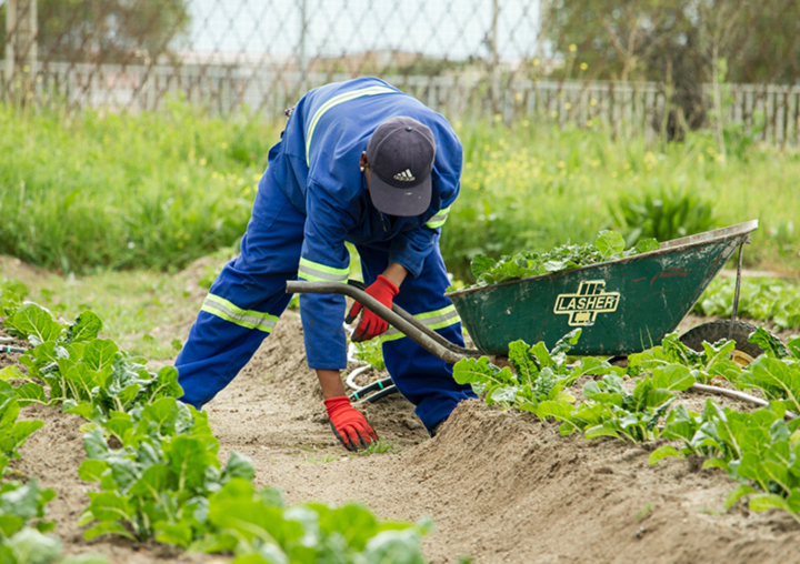
Establishing Victoria’s Ecological Infrastructure: A Guide to Creating Climate Future Plots
This guide provides a step-by-step process for organisations and community groups to plan, establish...
Read moreThis guide provides a step-by-step process for organisations and community groups to plan, establish and monitor Climate Future Plots, and to establish a network of climate-resilient plant communities. What's a Climate Future Plot? Climate Future Plots are areas of revegetated and restored land which incorporate genetic and/or species diversity to enhance habitat resilience to the uncertain and unpredictable effects of climate change. By including and monitoring the success of a mixture of local and climate pre-adapted plant genotypes (such as seed from hotter and drier climates) the plots aim to enhance the resilience of natural landscapes to the changing climate and to actively inform future restoration and biodiversity conservation management. In partnership with Department of Environment, Land, Water & Planning.
Victoria Implementation tools Link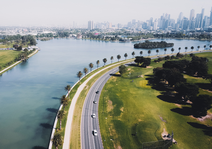
Explore Sustainable Water Projects in the City of Melbourne
The City of Melbourne is working to create a sustainable and resilient water system that will...
Read moreThe City of Melbourne is working to create a sustainable and resilient water system that will support liveability into the future. As well as changing the way we manage and use water, we are completing projects that provide alternative sources of water, increase permeability and reduce pollution in our waterways.
Victoria Case studies Link
Green Factor Tool
Green Factor is a green infrastructure assessment tool designed by City of Melbourne and developed...
Read moreGreen Factor is a green infrastructure assessment tool designed by City of Melbourne and developed to help with designing and constructing new buildings that are environmentally friendly and include green infrastructure.
Victoria Implementation tools Link